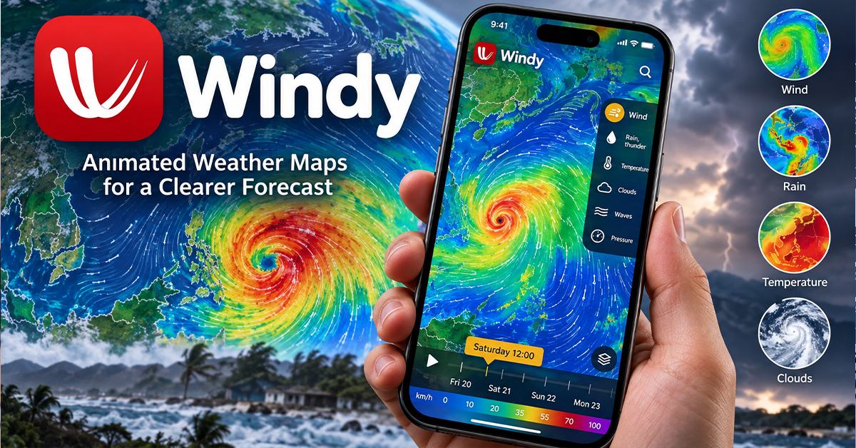

The Windy weather app turns complex weather forecasts into animated maps that show how wind, rainfall and atmospheric conditions may change. Users can explore predictions from different weather models in one interface instead of relying on a single forecast.
Originally developed for people who needed detailed wind information, Windy is now used by pilots, mariners, outdoor enthusiasts and everyday weather watchers. Its model-comparison features are particularly useful when forecasts disagree ahead of a storm.
Understanding how the app processes weather data can help users interpret its maps and make more informed decisions about changing conditions.
How Windy Turns Weather Data Into Animated Maps
Source: Windy.com Official Website
Windy is primarily a weather visualization platform, not an independent forecasting agency. It displays numerical weather predictions produced by meteorological organizations and combines them with observational data.
Numerical weather prediction uses atmospheric measurements and mathematical models to estimate future conditions. These models process information such as temperature, pressure, humidity and wind to calculate how the atmosphere may evolve.
Windy’s interface presents the results through interactive maps. Users can select weather layers, change locations and view animated patterns showing forecast wind movements and other atmospheric conditions.
The platform’s model selection matters because different forecasting systems can produce different results for the same location.
|
Model |
Provider |
Forecast role |
|---|---|---|
|
ECMWF |
European Centre for Medium-Range Weather Forecasts |
Global forecasts |
|
GFS |
US National Weather Service |
Global forecasts |
|
ICON |
German Meteorological Service (DWD) |
Global and regional forecasts |
|
AROME |
Regional forecasting system |
Detailed regional predictions |
These models offer different perspectives on future weather. Their current availability, coverage and configurations within Windy should be checked against official documentation before publication.
Windy also incorporates satellite and radar imagery. These observations help users examine weather that is already developing, while forecast models estimate what may happen later. A radar image showing rain now is different from a model predicting rainfall several hours ahead.
Why Comparing ECMWF and GFS Forecasts Matters
Forecasts sometimes disagree because weather models use different numerical methods, configurations and atmospheric data-processing approaches. A storm’s expected arrival time, rainfall distribution or wind strength may therefore vary between models.
Windy’s comparison feature allows users to examine these differences without switching between separate weather services.
Consider someone monitoring a storm approaching their town. One forecast might show heavy rain arriving in the evening, while another predicts a later arrival or a different path.
Rather than choosing whichever map looks more convincing, users can compare the same location and forecast period across models.
A practical way to do this is:
-
Select the same location and forecast time in each model.
-
Compare rainfall, wind speed and the predicted movement of the weather system.
-
Check subsequent forecast updates to see whether the models are moving toward similar predictions or continuing to disagree.
-
Check official weather warnings before making decisions about travel or safety.
If several forecasts show a similar pattern, that provides useful context. However, agreement does not guarantee accuracy, and disagreement does not necessarily mean one model is wrong.
For example, two models might agree that heavy rain is approaching but differ on exactly when it will arrive. That difference can matter to someone planning a journey or outdoor activity.
The comparison feature is most useful for identifying uncertainty in the forecast, rather than finding a guaranteed winning model.
Global Forecasts Versus Regional Weather Models
Global and regional weather models serve different purposes. Global models cover large areas of the Earth, while regional models focus computational resources on a more limited area.
The research brief identifies AROME and NEMS configurations in Europe with spatial resolutions of approximately 2–4 kilometers. This specification requires verification for the particular model versions and coverage being discussed.
Higher spatial resolution means a model can represent smaller geographical features. That can be useful in areas where terrain and localized weather patterns influence wind or rainfall.
However, more detail on a map does not automatically mean a more accurate forecast. Model performance also depends on atmospheric observations, the equations used to represent weather processes and the conditions being predicted.
Global models help identify larger weather systems and their movement. Regional models can add detail within their coverage areas, but their availability and forecast quality vary by region.
For users outside Europe, a detailed-looking map should not be taken as proof that a regional model with kilometer-scale resolution is available for their location.
Who Can Benefit From Windy?
Windy’s detailed wind information makes it useful for people whose activities depend on atmospheric conditions, including pilots, mariners and outdoor sports enthusiasts.
For everyday users, the app can help with checking expected rainfall before a journey, examining wind conditions before outdoor activities and following changing forecasts during unsettled weather.
Its practical value lies in allowing users to examine different weather scenarios instead of relying entirely on a single forecast summary.
Windy is described in the research brief as a free download without in-app advertisements. The exact financial arrangements supporting its data licensing and operations, however, are not established by the available research. Its current pricing and premium feature restrictions should be confirmed before publication.
The platform also has limitations. It does not eliminate forecast uncertainty or replace official warnings. In dangerous weather, local meteorological authorities and emergency services should remain the primary sources for safety instructions.
What Readers Should Know
Windy can help users explore weather conditions and compare forecasts, but the information should be interpreted carefully.
-
Compare ECMWF and GFS predictions for the same location and time to identify differences in expected conditions.
-
Treat high-resolution maps as more geographically detailed, not automatically more accurate.
-
Use radar and satellite observations to examine current conditions, and forecast models to assess possible future weather.
-
Follow official warnings and local emergency guidance during severe weather.